
Review · HIKING & TREKKING
Discovery hike along the Trondheimsfjord
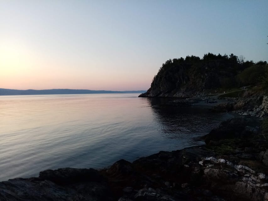
A fjord hike with actual stories is rare. Along the Trondheimsfjord, you get fjord views plus Second World War ruins in a 2.5 hour walk on the Lade peninsula. I like that it feels like Norway you can touch, not just a scenic stop.
What I like most is the pace. It is a medium, 6 km one way walk with photo stops that are explained, so you are not just taking pictures, you are learning what you are seeing.
One consideration: this is not a loop, and it is not suitable for wheelchair users. You will need the right footwear for outdoor, sometimes unpredictable weather.
In This Review
- Key points you should know before you go
- Why this Trondheimsfjord hike feels more like daily life than sightseeing
- Route basics: 6 km, medium, and one-way from Korsvika to Rotvoll
- Price and value: what you pay for, and what you should budget
- Getting there smoothly with bus 2, then returning via bus 20
- Korsvika photo stop: start at the water, not the map
- Østmarka German bunker: the WWII part that actually sticks
- Ladekaia and Sponhuset: turning the shoreline into local history
- Devlebukta: the viewpoint payoff and the nature angle
- The guide experience: Gaël’s calm, expert storytelling in French or English
- Who this hike is for, and who might want a different plan
- Making it your best day: what to bring and how to pace yourself
- Should you book this Trondheimsfjord Discovery Hike?
- FAQ
- When is the Discovery hike along the Trondheimsfjord available?
- How long does the hike take?
- How long is the route?
- How difficult is the hike?
- Is it a loop or a one-way hike?
- Where do I meet the guide?
- What languages is the guide available in?
- What should I bring or wear?
- Is food included, and is it wheelchair accessible?
- How do I get back to the city center after the hike?
Key points you should know before you go
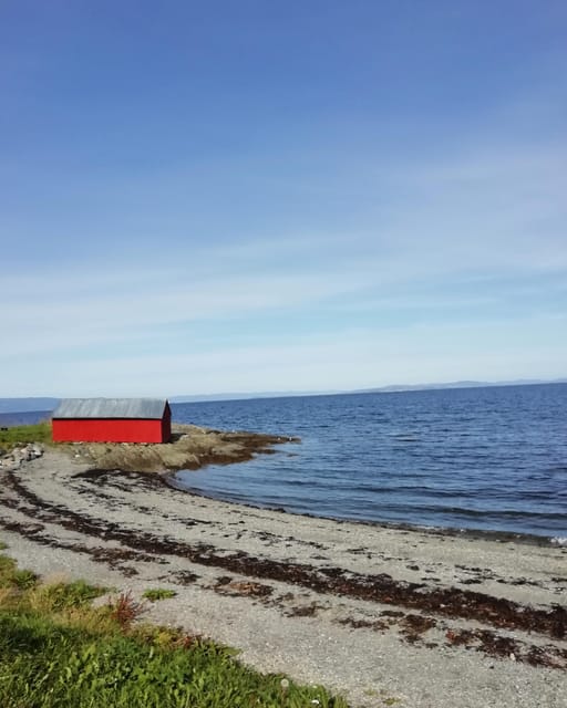
- Real WWII remnants along the shoreline, explained with context.
- 6 km one-way route on the Lade peninsula, designed for a steady, enjoyable pace.
- Photo stops with guidance that help you connect the scenery to local history.
- Fauna and flora lessons so the walk feels like more than views.
- Gaël & Maëlle Travel guide in French and English, focused on history and everyday life.
- Easy public transport links using bus 2 at the start and bus 20 to get back.
Why this Trondheimsfjord hike feels more like daily life than sightseeing
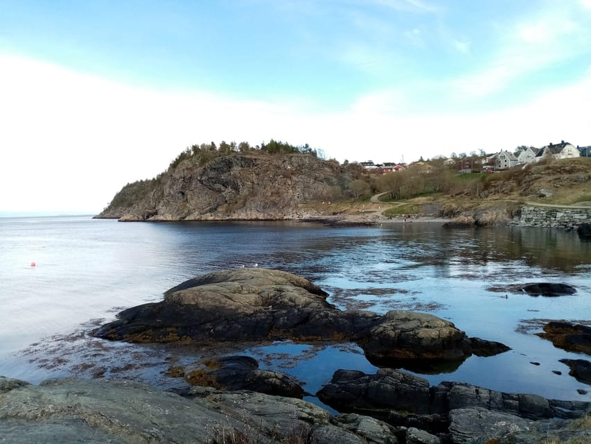
You are walking where people have lived, worked, and defended this coast. The Trondheimsfjord is not just a backdrop here, it is part of the story. On the Lade peninsula, the water, the air, and the shoreline make the history feel closer.
I also like how the tour balances nature with human history. You are not stuck in one mood. One moment you are pausing for a view, the next you are standing near remnants from the Second World War, and the guide connects it to Trondheim’s bigger picture.
And there is a practical reason it works for many people: the hike is built for moving. It is long enough to feel like an outing, but short enough that you are not rushing or counting minutes the whole time.
More Hiking Tours in Trondheim:
- From Tromsø: Snowshoeing Hike with Picnic Lunch and Photos
★ 4.9 · 840 reviews - From Tromsø: Guided Husky Snowshoe Hike and Husky Camp Visit
★ 4.9 · 715 reviews - From Tromsø: Snowshoe Hike in the Arctic
★ 4.9 · 467 reviews
Route basics: 6 km, medium, and one-way from Korsvika to Rotvoll
The walk covers about 6 km and takes around 2.5 hours, typically at a medium difficulty level. Expect steady outdoor walking, not a flat stroll the whole way, so comfortable shoes matter.
This is a one way hike, with different start and finish points. You meet at the Korsvika area, then you finish at Rotvoll. That detail changes how you plan your day. If you like neat loops where you end where you started, this one takes a little brainpower up front, because you will rely on buses after.
Weather in Norway can shift quickly. You will be outside, so dress for cool wind and possible wet conditions even if the morning looks fine. If you are bringing the wrong layers, this can feel harder than it needs to be.
Finally, it is not suitable for wheelchair users. If mobility is a concern, consider a different format that matches your pace and terrain.
Price and value: what you pay for, and what you should budget
The price is $72 per person for a guided hike. That might sound steep until you zoom in on what is included. You are paying for a local guide, a planned route, and the explanations at multiple stops. In other words, you are buying context, not just a walk with a meetup point.
You also get practical value from the structure. The photo stops are built into the experience, which means you get moments to slow down without losing time later. You are not trying to figure out where to look or what you are seeing.
What is not included is food and drinks. So plan your own snack strategy. If you tend to get hungry mid-walk, bring something small. A bottle of water also helps, especially if the day turns brighter and warmer than expected.
Getting there smoothly with bus 2, then returning via bus 20
A big plus here is that the route plays nicely with Trondheim public transport. You start near the Korsvika car park, close to the Ingemann Torps vei bus stop.
From the city center, take bus number 2 toward Strindheim and get off at Ingemann Torps vei. Buses run about every 10 minutes, so you are not stuck waiting around too long.
At the end, you finish near Rotvoll. From there, you can take bus number 20 in the direction of Romolslia back toward the city center. The bus stop is roughly a 10 minute walk from the end point, with service every 15 to 30 minutes.
For exact times and ticketing, use the ATB app. It is the cleanest way to avoid guessing, especially if your schedule is tight.
A few more Trondheim days worth weighing up
- Trondheim: Private Walking Tour with a Local
★ 4.5 · 110 reviews - Trondheim: City Highlights Bus and Walking Tour
★ 4.4 · 96 reviews - Trondheim : Explore the city of kings with a local guide
★ 4.8 · 70 reviews - Trondheim: Discover the city of kings with a local guide
★ 5.0 · 41 reviews
Korsvika photo stop: start at the water, not the map
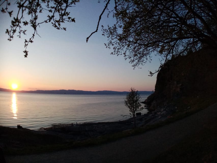
Your hike begins at the Korsvika parking lot, where the guide holds a sign for Gaël & Maëlle Travel. This matters because the area is straightforward, but you still want that clear meeting point so you can get moving quickly.
The first photo stop gives you a quick way to orient yourself. I like this kind of start because it sets the mood. Instead of walking blind, you get a sense of the fjord, the shoreline angle, and what you will be looking for later.
If you are the type who likes good photos, this early stop is useful. If you are not, it still helps you understand why the rest of the route is worth it. The guide’s explanations make the scenery feel intentional.
Østmarka German bunker: the WWII part that actually sticks
One of the strongest sections is the Østmarka German bunker photo stop. You are not just seeing a random remnant. The guide uses it as a doorway into what Trondheim meant in the Second World War and why the shoreline mattered.
I think this is one reason the tour has strong satisfaction. When WWII sites are explained well, you leave with a mental timeline. You see how a single bunker connects to the larger coastal story, rather than treating it like a spooky object.
There is also an emotional difference between reading about the war and standing nearby. The physical presence makes the topic harder to ignore, in a good way, and the walking keeps it from turning into a heavy lecture.
Photo stops here are not just for souvenirs. They are for comprehension, like when the guide points out what to notice and why.
Ladekaia and Sponhuset: turning the shoreline into local history
After the bunker, you move toward Ladekaia and then Sponhuset, with photo stops and explanations along the way. This is where the tour shifts from the dramatic WWII anchor to broader city life and local geography.
I like that Ladekaia is treated as more than a name on a route. You are on a peninsula connected to water access, so the guide’s talk helps you see why places like this mattered to Trondheim over time.
Then Sponhuset gives you another viewpoint to connect buildings or remnants to daily life. Even if you are not a history buff, this part helps you understand that Trondheim’s story is not only in museums. It is also in the way the coast is used.
A small practical note: these pauses are part of the experience. If you are rushing to cover every step, you will miss the value. Slow down with the group, and you will get more out of it.
Devlebukta: the viewpoint payoff and the nature angle
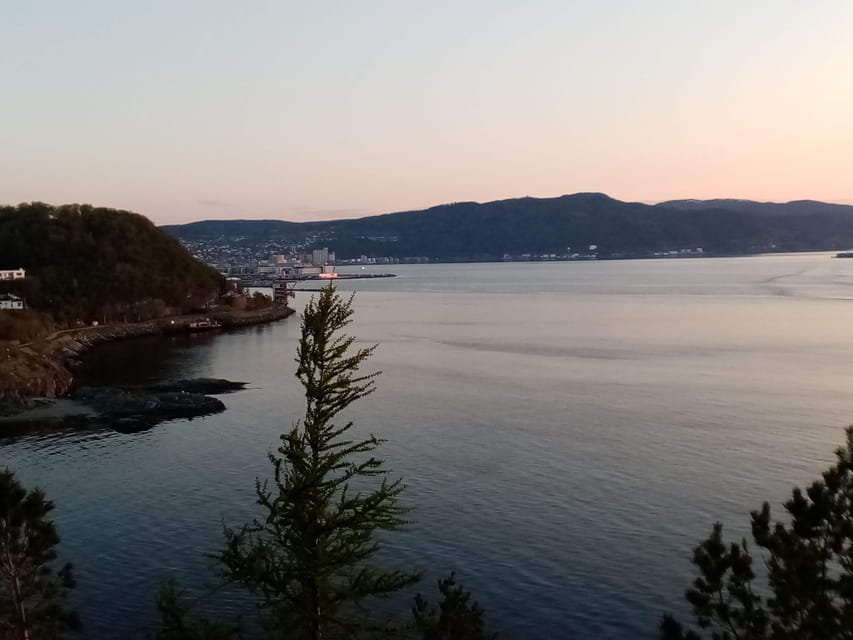
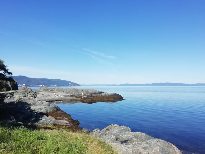
The final major photo stop is Devlebukta, and this is where the fjord feeling peaks. You get stunning coastal views, and the guide ties them back to Trondheim’s natural world.
The tour is not only about concrete reminders from the past. You also learn about fauna and flora in the area. That adds a layer many fjord walks miss. Instead of treating nature as a background, you start noticing what grows where, what lives around the shoreline, and how the local environment shapes the experience.
I find it helps to treat Devlebukta as a reset moment. By the time you reach it, you have already been given history and context, so the view lands differently. It feels like the end of a story, not just the last stop before leaving.
The guide experience: Gaël’s calm, expert storytelling in French or English
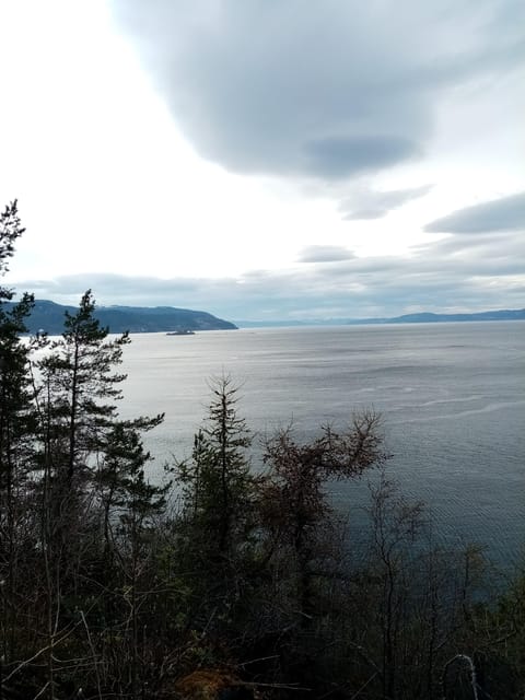
The guide is a major part of the value here. With Gaël & Maëlle Travel, you get live guiding in French and English, so you can actually follow the explanations without relying on guesswork.
The most praised thing in past experiences is how the guide combines enthusiasm with clarity. There is a sense of being looked after, and you get stories that are more than dates and facts. One highlight is how the guide can connect history to the way people live in Norway today.
I also like that the guiding style works for mixed groups. The tour is designed to be pleasant and relaxed, and the guide seems to keep the pace comfortable while still packing in information at each pause.
If you want a walk where you leave thinking, not just taking photos, this kind of guiding is exactly what you are looking for. It turns a route into an experience.
Who this hike is for, and who might want a different plan
This tour suits you if you like a blend of fjord scenery, WWII sites, and guided explanations. It is a good choice if you feel tired of only city streets and want outdoor time without a long, intense trek.
It also works well for solo travelers who want structure. If the group is small, you still get the full experience: the pauses, the stories, and the chance to ask questions.
You might want to rethink it if you cannot handle uneven outdoor terrain or if you need wheelchair accessibility. It is not designed for that, so forcing it can turn stressful fast.
And if you hate buses or are uncomfortable with one-way routes, this might feel like extra planning. The upside is that the transport connections are pretty straightforward, as long as you check times with the ATB app.
Making it your best day: what to bring and how to pace yourself
Bring comfortable shoes and comfortable clothes. This is not the time for delicate footwear or fashion layers that do not deal with cold wind or damp conditions.
I recommend dressing in layers. Norway weather can change quickly, and being able to adjust makes the walk feel easier. Also bring a small snack if you need it, since food and drinks are not included.
Finally, pace yourself for the photo stops. The tour is built around them, so treat them as part of your hiking time, not distractions from it. If you try to keep walking full speed between stops, you lose the guide’s best points.
Should you book this Trondheimsfjord Discovery Hike?
Book it if you want a guided 2.5 hour walk that mixes nature, Trondheim context, and visible WWII remnants along the Lade peninsula. The $72 price makes more sense when you factor in the local guide and the multiple explained photo stops. You are not just buying a route, you are buying understanding.
Skip it if you need a loop hike, have mobility constraints, or prefer unguided hikes where you can wander without planned stops. Also, go in knowing it is one-way, so plan your return via bus 20 from Rotvoll.
If your ideal day in Trondheim includes outdoors time plus real stories, this is a strong pick.
FAQ
When is the Discovery hike along the Trondheimsfjord available?
It is available from March to October.
How long does the hike take?
Plan for about 2.5 hours.
How long is the route?
The route is around 6 km.
How difficult is the hike?
The difficulty level is medium.
Is it a loop or a one-way hike?
It is not a loop. It is a one-way hike with different start and end points.
Where do I meet the guide?
You meet at the Korsvika parking lot. The guide will have a sign for Gaël & Maëlle Travel.
What languages is the guide available in?
The live guide speaks French and English.
What should I bring or wear?
Bring comfortable shoes and comfortable clothes. Since it is outdoors, dress for unpredictable Norwegian weather.
Is food included, and is it wheelchair accessible?
Food and drinks are not included. The tour is also not suitable for wheelchair users.
How do I get back to the city center after the hike?
At the end, take bus number 20 from the Rotvoll bus stop in the direction of Romolslia. Use the ATB app for timetables and tickets.
Recently added around Trondheim
- Trondheim: City Bus Tour★ 4.1 · 31 reviews
- Trondheim Private Walking Tour with a Local★ 4.5 · 38 reviews
- Trondheim’s Regalia Self-Guided Tour of Norway’s Historic Centre★ 5.0 · 9 reviews
- Trondheim’s Inner Circle: A Self-Guided Audio Tour★ 4.0 · 15 reviews
- 2 Hour City Walk through Trondheim★ 4.5 · 8 reviews
- City Bus Tour in Trondheim, Norway★ 3.5 · 13 reviews
- Discover the unmissables places of Trondheim★ 4.5 · 6 reviews
- Half-Day Highlights of Trondheim by Bus and City Walk★ 4.0 · 33 reviews
Hiking & Trekking, compared.

Guided Husky Snowshoe Hike and Husky Camp Visit
Read our review →

Preikestolen (Pulpit Rock) Hike with Local Guide
Read our review →
Browse the lists this tour appears in